
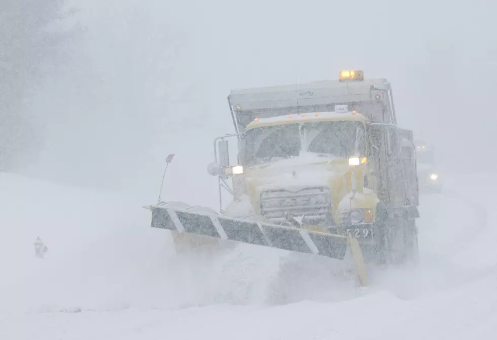
Lake Effect Snow Warning for ALL of Erie County: Very Difficult Travel Expected
It's not just the southern tier this time as most of Erie County will see a good amount of snow tonight and through Tuesday evening.
According to WKBW, the Winter Weather Advisory that was issued originally for Northern Erie County has been upgraded to a Lake Effect Snow Warning from 6 p.m. Monday to 7 p.m. Tuesday, via the National Weather Service.
The Buffalo metro could see anywhere from 4-7 inches of snow from now until late Tuesday night, with the greatest amounts in northern Erie and the Buffalo areas, occurring in Lackawanna and Blasdell to West Seneca, along with Elma and Marilla.
Areas south of Buffalo could see anywhere from 14-18 inches of snow through late Tuesday night, along with over a foot of snow near the Lake Erie shoreline.
The Tuesday morning and evening commutes could be very difficult at times with heavy, blowing snow that will reduce visibility. If you're commuting from areas around Hamburg, Angola, Lackawanna, West Seneca, and East Aurora, travel could be treacherous. 1-2 inches of snow is expected when the lake effect snow band is at its worst.
There's still a chance the lake effect band moves a little further north than expected, but areas north of Buffalo shouldn't see significant accumulation.
Read more here.
KEEP READING: Get answers to 51 of the most frequently asked weather questions...
More From 92.9 WBUF