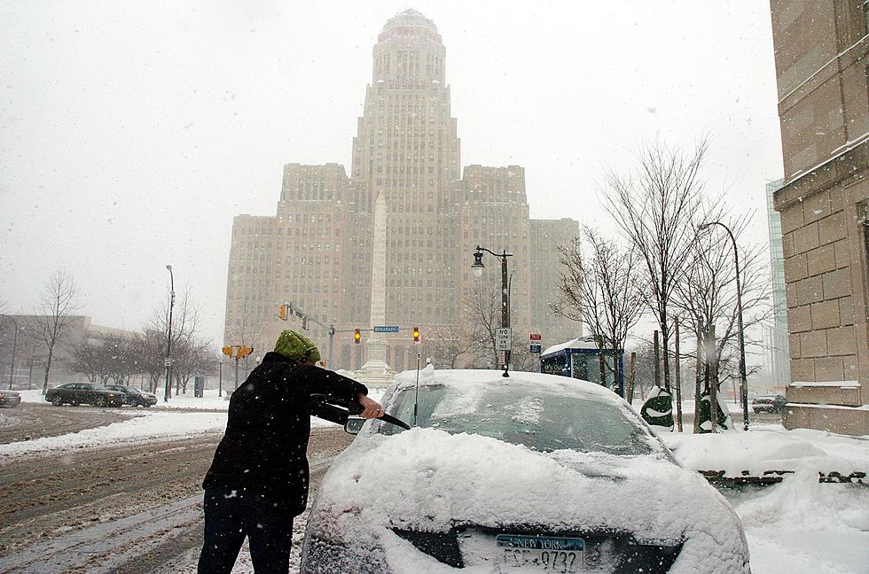
Earliest Date You Can Expect Inches Of Snow In Buffalo, New York
How many reports have you seen showing that there “may or may not” be snow in the forecast this week?
Tons, right? It’s like everyone in Western New York keeps attempting to predict when it will come, but what does that really mean?
Lately, you may have read articles that predict when we’ll see “a few flakes.” I don’t mind a few flakes, and I’m sure you don’t either, because in Buffalo, we have seen a lot worse when it comes to snow.
Don’t you just want to know when the amount of snowfall is going to matter? You want to be prepared for snow that will actually affect the morning commute, rather than hear about a snowflake here or there that may or may not reach your house or require salt on the roads.
After carefully analyzing the historic data provided by the National Weather Service, it looks like we will have some time before snow affects us in Western New York.
While the first snowflake typically greets us, on average, by October 24, we won’t see inches of snow until the following month.
According to the National Weather Service, the average day we will see at least an inch of snow or more is November 18.
These averages are based on data measurements from the winter of 1884 to the present, so it seems promising that the averages can help us predict when the first few inches of snow will fall.
Typically, Buffalo only has 26 days per year on average where the amount of new snow totals at least an inch.
If you’re wondering about snowstorms, there are typically four instances out of the year where Buffalo and Western New York gets hit with over five inches of snow in a single day, and major blizzards (amounting more than ten inches of snow) happen on average once per year, according to the National Weather Service.
Now that you know you have a few weeks to enjoy the uncovered ground, you can make the most of what’s left of the fall season…and get properly prepared for the upcoming winter.


