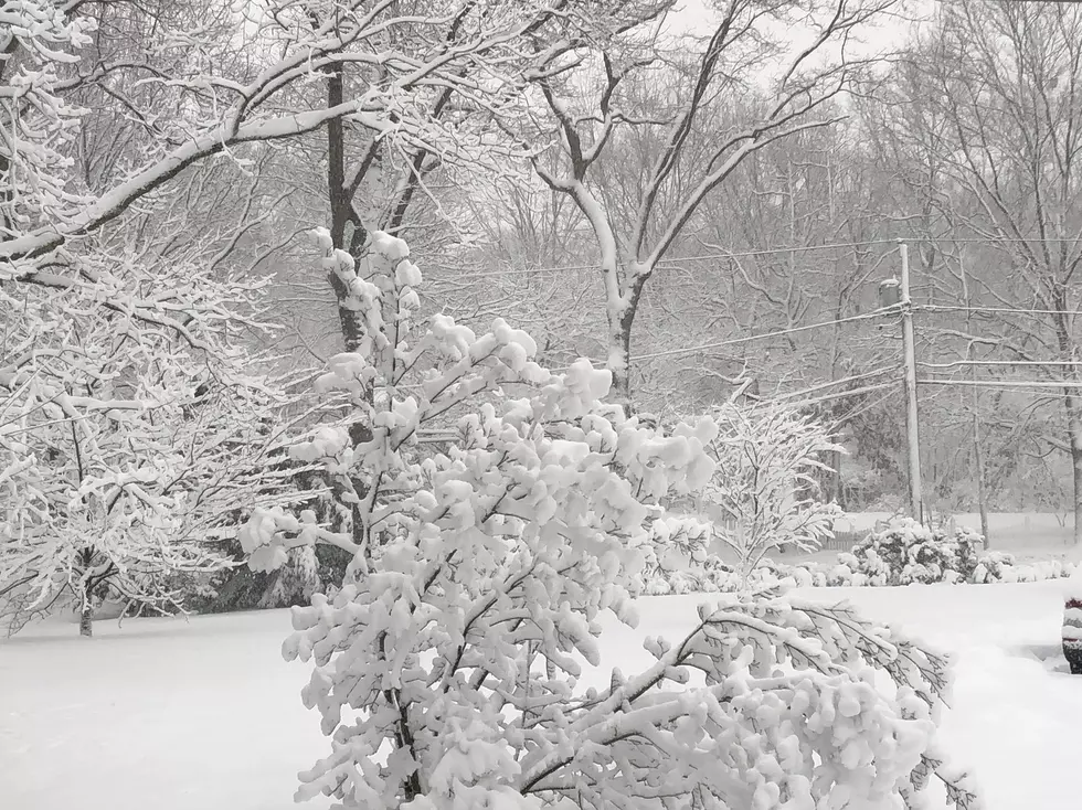
Buffalo’s First Average Snowfall is Much Closer Than You Think
The last few days have offered Western New York a small dose of what's to come in the coming weeks.
Technically, the official start of fall is just over one week away, but the temperature did not get out of the 60's today and we have likely seen the last of 85-plus degree afternoons. Instead, we will see more cool air filter into the region as we trade in t-shirts and shorts for hoodies and jeans.

The Great Pumpkin Farm will reopen this weekend, while Frightworld will be opening back up for their scare season in about three weeks time; with apple orchards and pumpkin farms welcoming back Buffalonians for the fall season.
What you may not realize is while fall is just about here, we are not as far off from the first official snowfall in Buffalo.
Winter doesn't officially begin until the third week of December, but according to the National Weather Service, the first average snowfall in the City of Buffalo is October 24th, which is just six weeks from today...
The first measurable snow is November 8th (eight weeks out) and the first inch or more of snow is November 18th (less than 10 weeks out).
The chances of something like the October Surprise Storm happening this year are slim to none but if you have lived in Western New York long enough, you know that we always seem to get some kind of significant snowfall by November.
Lately it has felt like we get some good snowfall by the first week of December, then some more around Christmas nothing until mid-January, when a lake effect storm hits us, which happened this past January.
The first snow is on the horizon though and we should enjoy the last two weeks or so of warm weather while we can...
10 Places For The Best Breakfast Sandwiches In Western New York
Gallery Credit: Brett Alan


