
Over a Foot of Snow Possible For Buffalo and WNY
It feels weird, because for once, Buffalo went a couple of days without significant snowfall. While this past weekend featured bitterly cold temperatures, it was mostly a dry weekend for most in Western New York.
That trend will continue for Monday and Tuesday, but then Mother Nature has yet another trick up her sleeve.
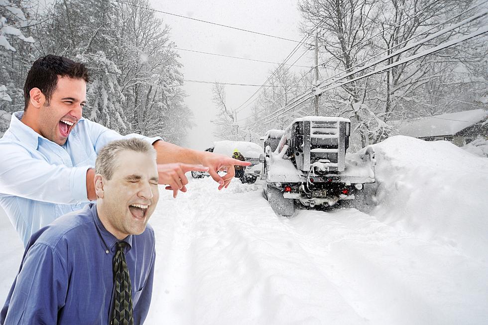
There's another winter storm on its way to Western New York, and this one is so big that it's impacting much of the Midwest and northeast by mid-to-late week. In fact, this storm has its own name -- "Winter Storm Landon."

Winter Storm Landon is expected to bring heavy snowfall, sleet, ice and even rain to a vast area of the United States from Tuesday through Friday, and unfortunately, Buffalo is in the crosshairs of this storm in the way of mostly snow.
Mike Doyle of WIVB says that exactly how much snow we get, all depends on where the cold front stalls over the area. It's possible the warmer air pushes its way further north and mixes in more sleet and ice, which would lessen the totals, but snow will still be a problem.
The Weather Channel is keeping an eye on the storm, and right now, long-range forecasts are calling for a foot of snow or more for Western New York from Wednesday evening through Friday.
Some areas could even see closer to 2 feet.
Patrick Hammer of WGRZ says that once the system moves out of the Pacific Ocean and gets closer, we can pin down exact totals, but there's a high likelihood of heavy snowfall for Buffalo.
The Euro model is calling for roughly a foot of snow at the moment, per WKBW.
We'll just have to wait and see how much snow we get. We will get significant snowfall that will impact travel though, that's for sure.
I rather have all snow than sleet and ice in there, which can make travel even more dangerous.
26 Worst Streets To Live On During a Snow Storm
24 Amazing Pictures Of The Snowfall In The Last 24 Hours In WNY
LOOK: Here is the richest town in each state
LOOK: Things from the year you were born that don't exist anymore
LOOK: Food history from the year you were born
LOOK: Here are the pets banned in each state
LOOK: Here are the pets banned in each state
LOOK: Best Beers From Every State
LOOK: 40 Discontinued & Special Edition Kellogg's Cereals
LOOK: 50 famous memes and what they mean
More From 92.9 WBUF